

Our Expertise

Web GIS Development
Build user-friendly web GIS apps with ESRI ArcGIS Online, Experience Builder, Leaflet, Mapbox, and ReactJS. Enable easy access, analysis, and collaboration on geographic data via web browsers for enhanced decision-making.

GIS Consultancy
Provide GIS expertise with ESRI ArcGIS Enterprise and QGIS for tailored solutions, optimizing resource management and operational efficiency.

Artificial Intelligence
Use Python, PyTorch, and ArcGIS API for AI-driven automation and advanced spatial data insights, enabling proactive decision-making.

Automation
Automate GIS tasks like data entry, analysis, and report generation using Python, ArcPy, and Django. Boost efficiency, minimize errors, and allocate resources to strategic tasks.

GIS Analysis
Provide advanced spatial analysis with ESRI Network Analyst, Spatial Analyst, and PostGIS for informed decision-making, improved predictions, and accurate planning.

Integrations
Integrate GIS with CRM, ERP, and asset management using ESRI SDE, APIs, and Web Services for better data visualization and decision-making.

DB Design
Create tailored database architectures for spatial data using Postgres, ESRI SDE, and Microsoft SQL Server. Ensure data integrity, security, and performance, vital for efficient GIS operations.

Remote Sensing
Analyze satellite and aerial imagery using ArcGIS Pro, QGIS, and ERDAS IMAGINE for insights on environmental and urban changes, aiding management and planning efforts.

Mobile GIS Development
Create GIS mobile apps with React Native, ESRI Collector, and ArcGIS Pro for field data collection, visualization, and real-time analysis, boosting accuracy and efficiency.
Technologies We Love
OpenSource GIS solutions

OpenLayers

Leaflet

Geoserver

Mapbox
Web & Mobile Dev

React

Java Springboot

Django

Next.js
React Native
Arc GIS Suite

Workforce

QuickCapture

Survey123

Experience Builder

Operational Dashboard

Field Maps

ArcGIS StoryMap

AppStudio
Automation

Python

FME

Selenium
Expertise accross various domains
We have experience in empowering businesses with innovative solutions in diverse domains


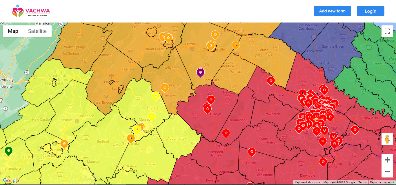
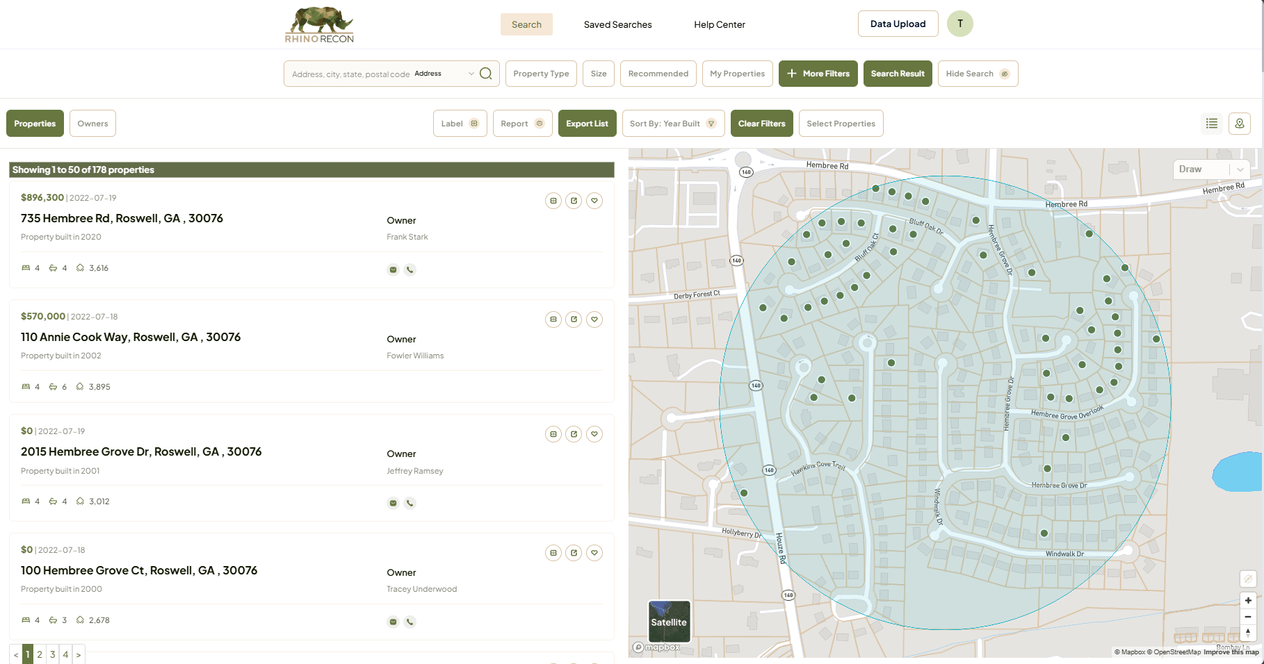
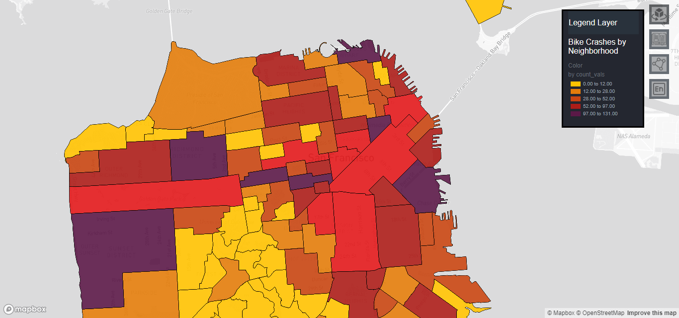
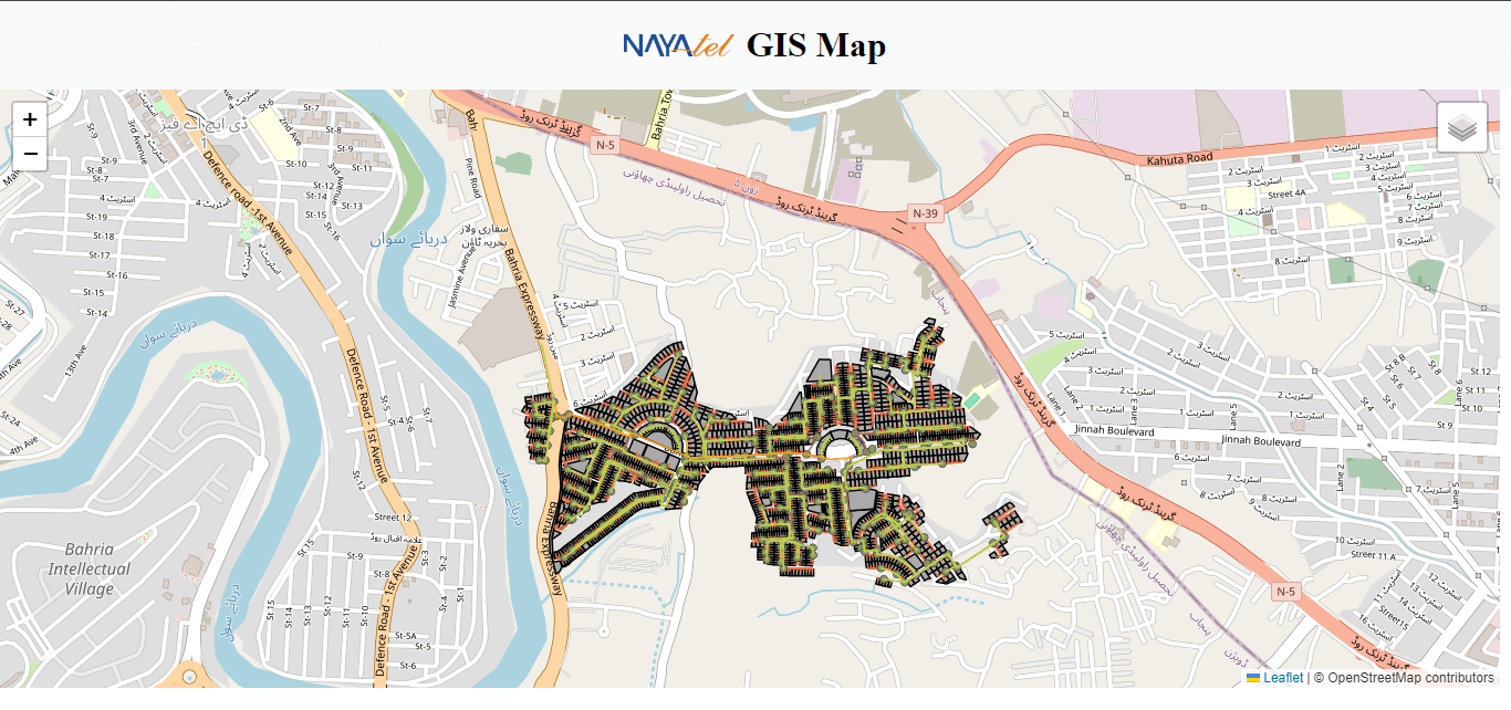
Portfolio
Our Creative Work